Red Bull's Laurent Mekies admits that Kimi Antonelli and Mercedes were "faster than us" in last weekend's United States Grand Prix, as Max Verstappen could only finish third.
The United States Grand Prix weekend was something of a mixed one for Ferrari, and in the end a solid second place was not quite enough for Charles Leclerc, who made it clear that he wanted more.

Thomas Hawk posted a photo:


Hisa-nori has added a photo to the pool:

Kirifuri Falls in Nikko, veiled in morning mist. Red and yellow leaves in the foreground lead the eye down to the white cascade.
PENTAX KP

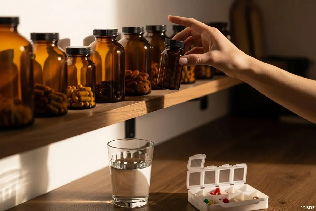
Bij de drogist wordt je begroet door een kleurrijke muur vol dure en minder dure potjes: collageen voor een stralende huid, kurkuma voor soepele gewrichten, magnesium voor een goede nachtrust. De Britse arts en tv-presentator Xand van Tulleken zocht uit welke ervan écht iets doen. Hij vond er een handvol. En je kunt die eerde vinden bij de sportvoeding.
Van Tulleken is de tweelingbroer van Chris van Tulleken, de schrijver van het boek over ultrabewerkt voedsel. Hij schreef over zijn zoektocht het boek Make Me Well, dat op 10 september uitkwam. WEL schreef toen al waarom de tv-arts zijn eigen pillen weggooide.
Deze drie supplementen hebben wél bewijs
“Van de duizenden middelen op de markt heb ik er een handvol gevonden waarvoor enig bewijs is dat ze werken”, zegt Van Tulleken tegen het Britse BikeRadar. Het gaat om creatine, bietensap en cafeïne. De rest leidde hem volgens eigen zeggen door “een sneeuwstorm van slechte en frauduleuze wetenschap”.
Daarnaast noemt hij twee vitamines die een tekort kunnen aanvullen. Zo ziet zijn oordeel eruit:
| Supplement | Wat het doet | Voor wie |
| Creatine | klein effect op sportprestaties | sporters |
| Bietensap (nitraat) | klein effect op sportprestaties | sporters |
| Cafeïne | klein effect op sportprestaties | sporters |
| Vitamine D | voorkomt een tekort | groepen met een advies |
| Vitamine B12 | vult een echt tekort aan | veganisten |
| Collageen | geen bewijs tegen huidveroudering | geen groep |
Ook bij de winnaars gaat het om kleine effecten. Het Australian Institute of Sport, dat sportsupplementen beoordeelt, zet ze met onder meer bèta-alanine en natriumbicarbonaat op de lijst met bewijs voor een kleine prestatiewinst. Bij creatine voor inactieve 45- tot 65-jarigen was het effect het grootst bij wie er ook bij ging bewegen.
Vitamine D voorkomt een tekort, meer niet
“Toen ik geneeskunde studeerde, leek het alsof vitamine D alles zou genezen”, zegt Van Tulleken in een eerder interview met BikeRadar. Die verwachting kwam niet uit.
“Vitamine D lijkt in de grote onderzoeken niets anders te doen dan een vitamine D-tekort voorkomen.”
Het Britse advies om in herfst en winter 10 microgram per dag te slikken noemt hij uitstekend: het voorkomt dat mensen ziek worden van een tekort. Gezonde mensen worden er niet gezonder van. De megadoses die in Britse winkels liggen, kunnen zelfs schadelijk zijn.
In Nederland is het advies smaller dan in Groot-Brittannië. Het Voedingscentrum noemt onder meer jonge kinderen, vrouwen van 50 tot en met 69 jaar en mensen met een donkere huid of die weinig buiten komen (10 microgram), en iedereen van 70 jaar en ouder (20 microgram).
B12 en foliumzuur alleen in een bepaalde situatie
Ook B12 kan een echt tekort aanvullen, bij veganisten. Het Voedingscentrum adviseert hen een supplement met de aanbevolen dagelijkse hoeveelheid: 2,8 microgram voor volwassenen. Ouderen en mensen die weinig maagzuur aanmaken hebben ook vaker een tekort. Een huisarts kan dat in je bloed meten.
Vrouwen die zwanger willen worden, krijgen van het Voedingscentrum het advies om foliumzuur te slikken: 400 microgram per dag, tot en met de tiende week van de zwangerschap. Verder is het oordeel van het instituut kort: “De meeste mensen hebben geen voedingssupplementen nodig.”
Waarom collageen niet op het lijstje staat
Over collageen verschenen veel positieve onderzoeken. Een overzichtsstudie uit 2025 hield rekening met wie die onderzoeken betaalde en vond daarna geen bewijs dat collageen huidveroudering tegengaat.
“Hoop is het belangrijkste product dat de supplementenindustrie in vaten de wereld rond verscheept.”
De prijs van een collageenpoeder in de winkel ligt volgens Van Tulleken tientallen keren hoger dan de waarde van de grondstof, meldt het Italiaanse vakblad Il Fatto Alimentare.
Check dit voordat je een potje koopt
- Hoor je bij een groep met een advies, zoals 70-plussers voor vitamine D of veganisten voor B12? Dan heeft slikken zin.
- Vermoed je een tekort, vraag dan de huisarts om een bloedtest in plaats van zelf te gaan slikken.
- Neem niet meer dan op het etiket staat. Meer vitamine D maakt je niet gezonder.
- Sport je fanatiek, dan geven creatine of cafeïne hooguit een klein voordeel. Slaap, voeding en training leveren meer op, zegt de Canadese sportjournalist Alex Hutchinson tegen BikeRadar.
- Eet onbewerkt voedsel. “Je lichaam lijkt voedingsstoffen daar veel beter uit te halen”, zegt Van Tulleken.
Meer weten?
Bronnen: BikeRadar (supplementen), BikeRadar (interview), Voedingscentrum
HEBRON (ANP/AFP) - Israël heeft inmiddels meer dan 3000 Palestijnen verdreven uit Hebron, meldt het stadsbestuur. De Israëlische krijgsmacht (IDF) begon vrijdag met een omvangrijke operatie in Hebron, de grootste stad op de bezette Westelijke Jordaanoever.
Zaterdag meldde de IDF al bijna 2000 mensen te hebben verdreven uit Hebron. Volgens het stadsbestuur is dat aantal nu opgelopen tot 3189 mensen, onder wie tweehonderd kleuters.
De operatie volgt op een schietpartij bij een checkpoint in Hebron. Daar openden twee Palestijnen het vuur op Israëlische troepen. Twee militairen en de Palestijnse schutters kwamen om.
Premier Benjamin Netanyahu kondigde direct aan de Westelijke Jordaanoever voor de veiligheid af te sluiten. Ook dinsdag, als er verkiezingen zijn voor het Israëlische parlement, zal dat het geval zijn.
BRUSSEL (ANP) - De Europese Commissie heeft een plan van het Chinese Temu geaccepteerd waarmee de webwinkel de verkoop van illegale producten tegen wil gaan. Temu kreeg in mei een boete van 200 miljoen euro opgelegd van Brussel, omdat het te weinig deed om de verkoop van illegale producten van het platform te weren.
Daarmee overtrad de webwinkel de Digital Services Act (DSA). Zonder aangekondigde verbeteringen van Temu zouden meer boetes kunnen volgen.
Temu heeft nu toegezegd beter in kaart te brengen hoe het illegale verkoop opspoort en waar het verbeteringen kan doorvoeren. Ook gaat het onderzoeken hoe het kan dat verkopers van illegale producten hun spullen soms kunnen blijven aanbieden op Temu. Het bedrijf krijgt hiervoor vier maanden de tijd.
De Commissie legde in juli de eveneens Chinese webwinkel AliExpress een boete van 550 miljoen euro op om vergelijkbare redenen. Illegale, onveilige of namaakproducten zijn te makkelijk te koop via de platforms, aldus Brussel.
UK Biobank (UKB) says its platform is now "secure" and that academics will soon regain access, months after a major data leak of volunteer health data. The charity, which runs the eponymous research project and describes itself as the custodian of the world's most comprehensive biomedical dataset, said it is waiting for approval from health data controllers and central government before it relaunches the platform. UK Biobank's Research Analysis Platform (UKB-RAP) has locked out all medical researchers trying to access its dataset since the April attack, which led to all 500,000 volunteers’ data being listed for sale on Chinese ecommerce website Alibaba. More than 20,000 researchers use the dataset provided by the cloud-based platform. They upload research projects and run experiments informed by the genomic data UKB collected from 40-to-69-year-olds between 2006 and 2010. The org makes around 30 petabytes worth of the stuff available to researchers, who investigate conditions including cancer, dementia, Parkinson’s disease, and COVID-19 immunity. Professor Sir Rory Collins, CEO at UKB, said on Friday that the organization has "completed the work to ensure that the UKB-RAP is secure," and that the progress was checked by an independent cybersecurity company, whose report recommends reopening the platform. The charity will begin a phased re-introduction of researchers to its platform after it receives the necessary approvals, although boffins will not be able to download any results files at first. The platform will pilot a "manual output checking system," where human reviewers will inspect files researchers wish to download before allowing them to do so, ahead of an automated process expected to roll out next year. According to the guide UKB compiled for researchers outlining the changes to the platform, researchers will also be restricted from building public apps and sharing tools with external colleagues until that manual checking system is fully up and running. Researchers were also warned that they will not be able to refresh or dispense data, only work with pre-existing data. They were also told to expect automatic logout out after 15 minutes of inactivity, with 2FA required upon re-authentication. Other technical changes include no longer being able to SSH into jobs, interactive tools being run via "isolated browsing" which restricts data transfer between web apps and the user's local system, and some restrictions on CLI use. UKB is working toward a day when the researchers using its platform store no data on their own computers, working only with that which is uploaded to the repos it hosts. However, in uploading this data to online repos, de-identified data is accidentally included in the code. UKB says it runs daily automated scans of these repos to catch errors, and provides training to researchers to help prevent these occurrences. Collins said that since the attack, most researchers have confirmed the deletion of de-identified data from their projects, but others have not and won't be admitted back to the UKB-RAP until they do. "Despite our repeated reminders, we are still detecting a small number of code repositories that include de-identified participant data," he said. "As these constitute a serious breach of the Material Transfer Agreement, sanctions are being applied against the researchers who are responsible." The charity also said researchers caught exposing participant data in their code will be forced to move their analyses to UKB-RAP, delete any downloaded data, and undergo additional training before being allowed back on the platform. It had initially told researchers to expect a relaunch of the platform by September 2026, although an update penned last month confirmed that it needed to wait for an independent assessment to be completed, despite already making the required security improvements. ®
